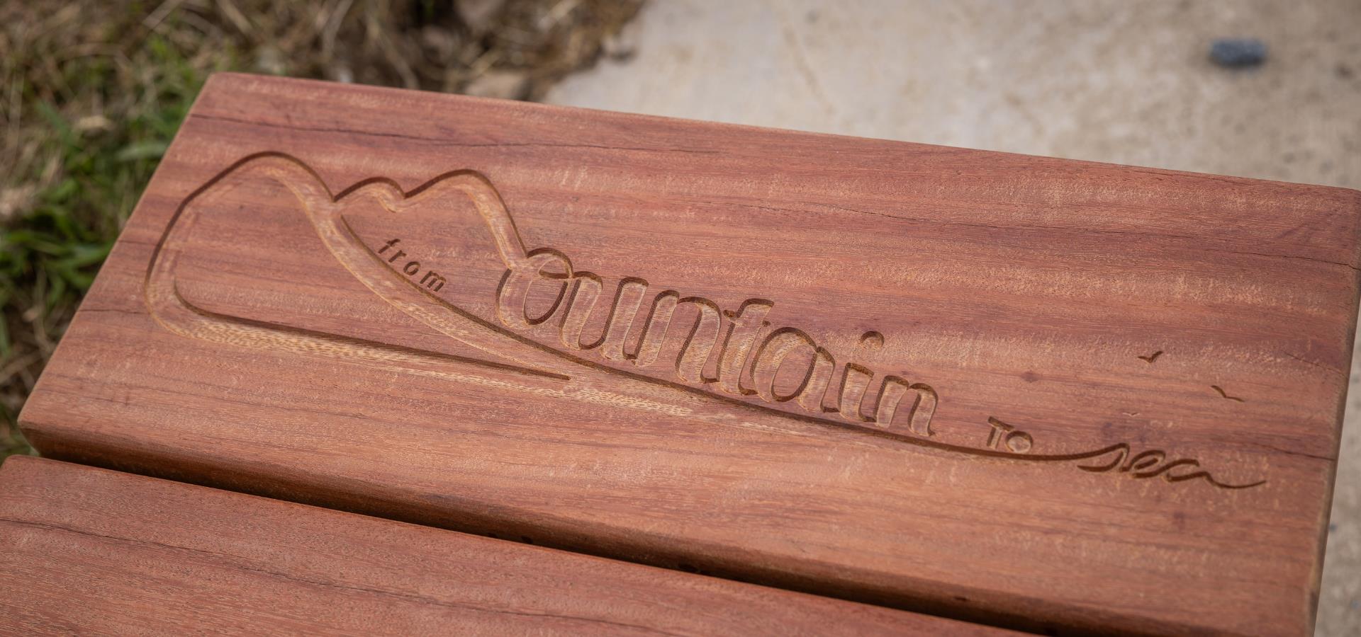
Areas along the route were identified for the placement of bespoke benches, spaces designed for reflection, contemplation and healing. Eight places were finally identified, and a family of benches was then created and fabricated at the makers studio. Each has their own unique design with a combination of carved surfaces and gentle curves, arm rests and half backs in materials ranging from charred and carved locally Grown Green oak, to fully reclaimed greenheart timber which was salvaged from UK ports.
Views from the benches range from rivers and mountains, across hills and woodlands, to open countryside and wildflower meadows. The last bench on the coast at Peterhead gazes out across the North Sea to Norway, linking with people from other parts of the world. Every bench features an etching of the Mountain to Sea logo and a QR code linking to the album of tunes.
Installation of the benches was carried out by Aberdeenshire Council Landscape Services. The MacRoberts Trust were very accommodating with the placement of the Tarland bench, and a team effort between the Bothy Association, Mar Lodge, the Cairngorm National Trust and Braemar Mountain Rescue enabled the installation of the bench at Ben MacDui.
Chris Nangle is a craftsman who set up his furniture design company more than 20 years ago after graduating from university. Over time he has developed and moved towards ecologically responsible public seating for both private and corporate clients. His work ranges from individual memorial benches and landscape furniture on coastal paths and woodlands to large public commissions for corporate clients. He works closely with artists and architects to manufacture bespoke site specific furniture in a variety of materials which are made to order in his Shropshire workshop. Public works include seating for the National Trust, RHS Bridgewater Hall, Manchester Science Museum, Liverpool Museums, Scarborough Castle and Black Country Living Museum. www.chrisnanglefurniture.co.uk
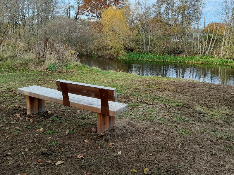
Alford
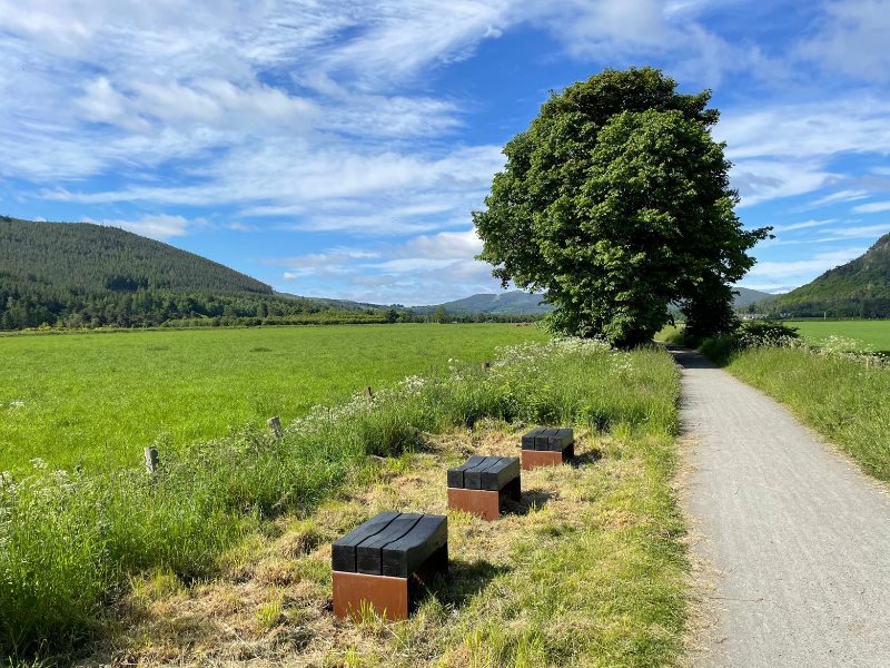
Ballater
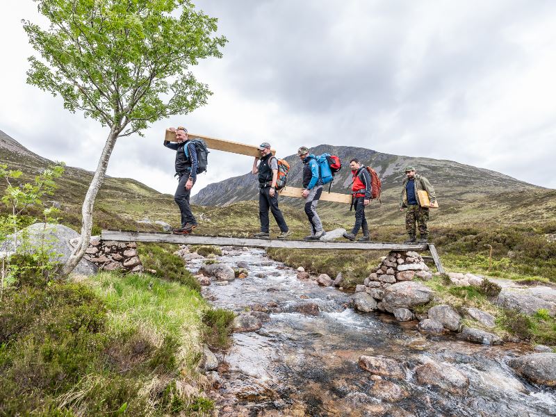
Braemar
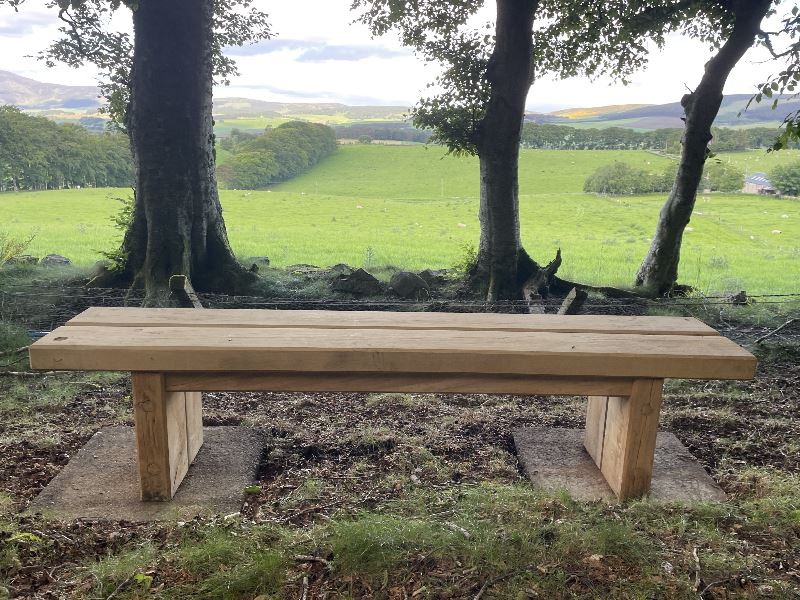
Doune, Tarland
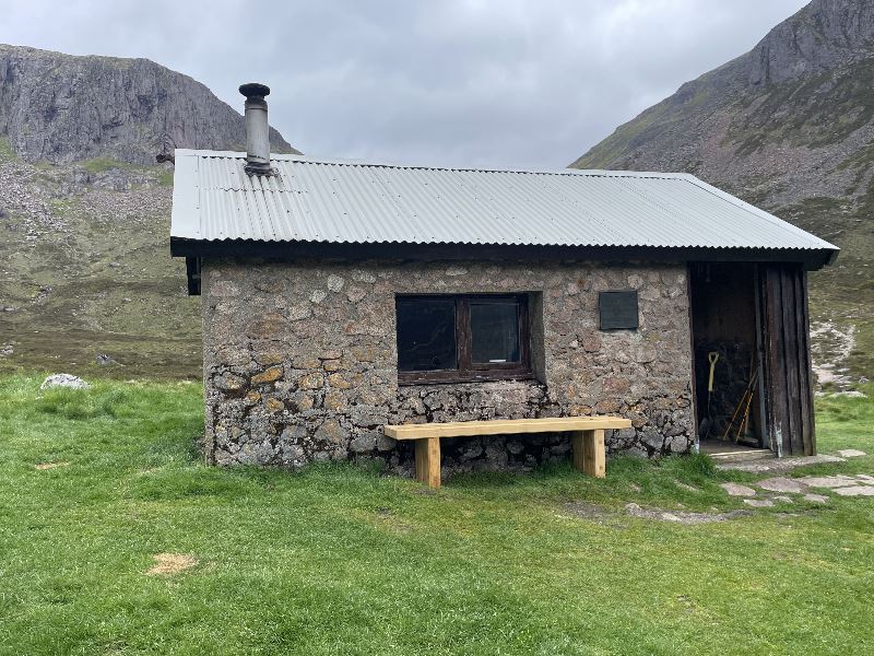
Huchison Hut
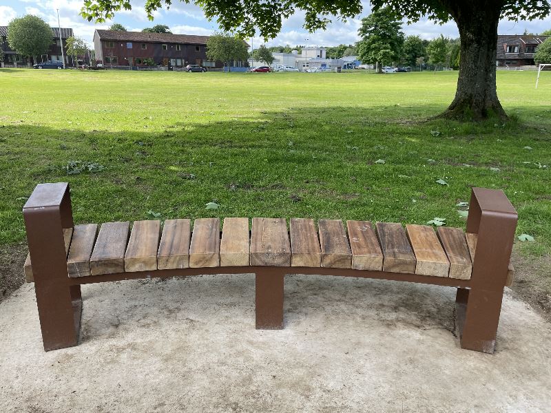
Kemnay
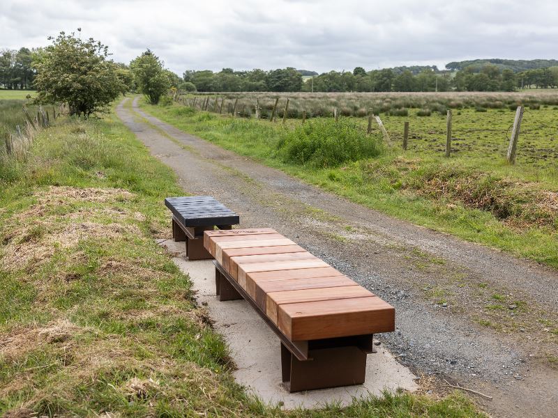
Maud, Formartine Way
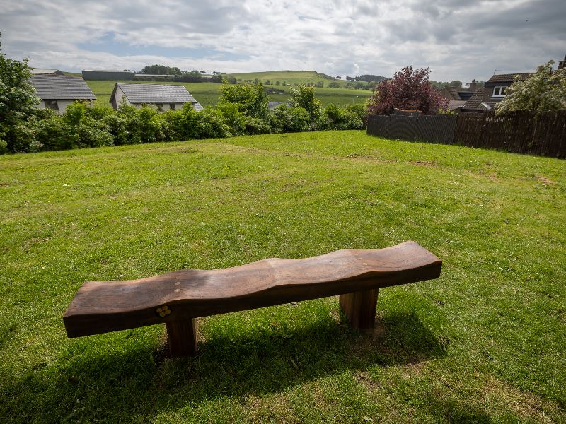
Oldmeldrum
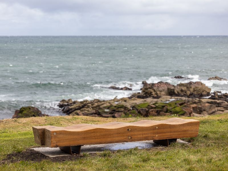
Peterhead
| Area |
Coordinates |
Ordnance Survey grid ref |
What 3 Words |
| Ben Macdui, Hutchison Hut |
57°04’43.4”N 3°36’47.8”W |
NO 02305 99790 | ///chainsaw.wink.monitors |
| Deeside Way near Milton of Tullich, Ballater | 57° 03’ 37.4” N 3° 01’ 17.2” W | NO 38148 97056 |
///possible.lentil.headings |
|
Doune, near Tarland overlooking Morven Hill |
57°08’39.2”N 2°51’04.9”W |
NJ 48580 06247 | ///deriving.sorry.awoke |
|
River Don at Alford |
57°14’44.2”N 2°42’02.8”W |
NJ 57808 17429 |
///powerful.undercuts.ballroom |
|
River Don at Kemnay |
57°14’28.0”N 2°27’07.1”W |
NJ 72819 16801 |
///bolsters.proclaims.operating |
|
Oldmeldrum looking towards Barra Hill |
57°19'54.0"N 2°19'19"W |
NJ 80709 26849 |
///calendars.drainage.beauty |
|
Formatine Way near Maud |
57°29’26.4”N 2°08’05.6”W |
NJ 92012 44501 |
///triangle.heightens.purse |
|
Gadie Brae, Peterhead |
57°30’42.5”N 1°46’49.1”W |
NK 13261 46867 |
///owls.inspected.washed |
Download the map of the walking route (PDF)
Find out more and download the full OS map by visiting Claudia Zeiske Website